
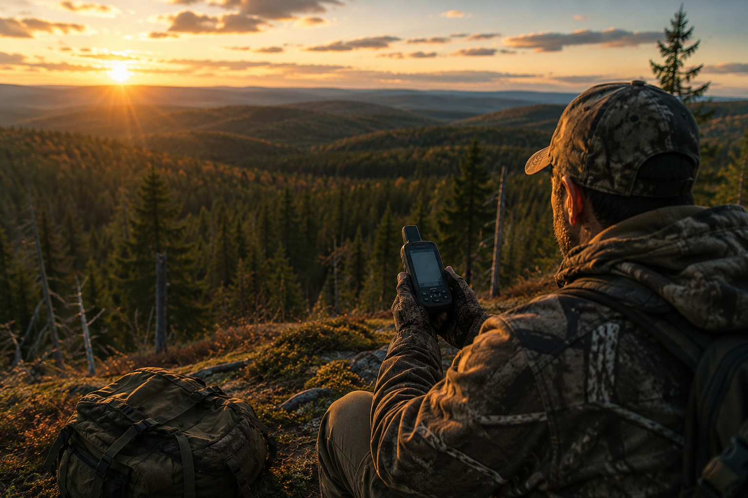
Every hunting season, thousands of hunters head into the woods hoping to discover a productive spot away from the crowds. One of the best ways to do that is by exploring Crown land. With the right maps and planning, Crown land can open up vast new opportunities while helping you hunt responsibly and legally.
What Is Crown Land?
Crown land is publicly owned land managed by provincial or federal governments. In many parts of Canada, it provides opportunities for outdoor recreation, including hunting, where permitted by law.
The amount of accessible Crown land varies by province, and not every parcel is open to hunting. Some areas may have seasonal restrictions, conservation rules, or require additional permits. Always check your province’s regulations before heading out.
Why Crown Land Is Valuable for Hunters
Many hunters return to the same locations year after year. While familiar spots can be productive, they often become crowded.
Exploring Crown land offers several advantages:
- Less hunting pressure than popular public access points
- More opportunities to scout new habitat
- Greater flexibility to adapt if conditions change
- Access to remote areas that may hold more wildlife
Finding these locations, however, requires good mapping.
Why Ordinary Road Maps Aren’t Enough
A typical road map only shows highways and major roads. It won’t help you answer questions like:
- Is this public or private land?
- Is there a trail leading into the area?
- Where are the nearby lakes, wetlands, or ridges?
- How steep is the terrain?
- Is this road still accessible?
For hunters, these details can make the difference between a successful day and hours of wasted travel.
How Crown Land Maps Help You Scout
Modern GPS mapping makes scouting much easier before you even leave home.
Identify Public Land
Knowing where public land begins helps avoid accidentally crossing onto private property and gives you confidence that you’re starting your hunt in an appropriate location.
Find Access Routes
Many productive hunting areas are reached by forestry roads, ATV trails, or old logging roads that may not appear on standard navigation apps.
Detailed backcountry maps can help identify these access points and estimate travel time.
Study Terrain
Topographic information lets you identify:
- Ridges
- Valleys
- Creek crossings
- Swamps
- Elevation changes
These landscape features often influence wildlife movement and can help you choose promising locations to scout.
Mark Important Locations
Before hunting season begins, save waypoints for:
- Parking areas
- Trailheads
- Tree stands or blinds
- Game trails
- Water sources
- Campsites
Having these locations stored on your GPS makes navigating much easier in the field.
Scout Before Opening Day
One of the biggest advantages of digital mapping is the ability to prepare in advance.
Many experienced hunters spend late summer:
- Driving forestry roads
- Looking for fresh sign
- Locating food sources
- Identifying bedding cover
- Planning multiple backup locations
By opening day, they’ve already done much of the work.
Don’t Rely on Cell Service
Many of Canada’s best hunting areas have little or no cellular coverage.
Dedicated GPS units with offline maps continue to work anywhere they have a clear view of the sky, making them a reliable navigation tool when you’re far from the nearest cell tower.
Hunt Responsibly
Even when hunting on Crown land, it’s important to:
- Follow all provincial hunting regulations
- Respect seasonal closures
- Stay within legal hunting zones
- Leave gates as you found them
- Pack out everything you bring in
- Respect other hunters and outdoor users
Good stewardship helps keep these areas available for everyone.
Make Every Hunt Count
Finding productive hunting locations takes time, but quality mapping can make the process much more efficient. By combining detailed Crown land information, topographic mapping, and reliable GPS navigation, you can spend less time wondering where to go and more time exploring promising new areas.
Whether you’re scouting months in advance or heading out for opening weekend, having accurate maps helps you navigate confidently, discover new opportunities, and enjoy Canada’s backcountry responsibly.

