
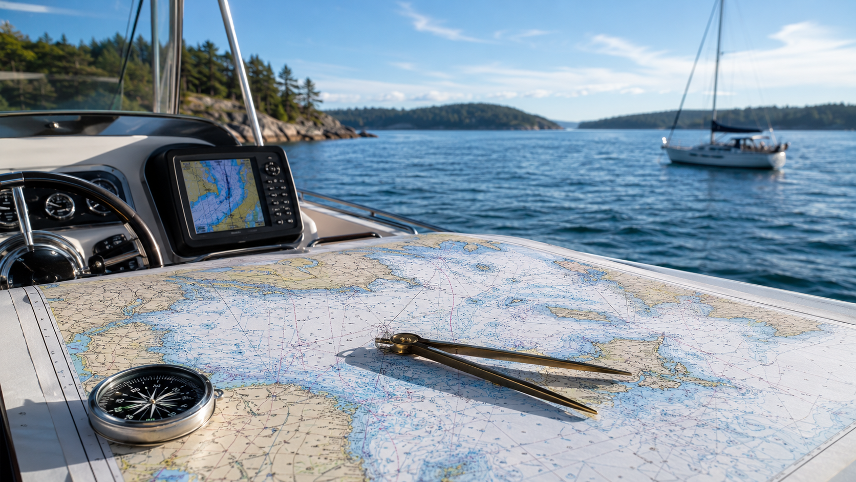
When you are on the water, the quality of your chart matters. Whether you are planning a coastal cruise, navigating Canadian waterways, exploring U.S. waters, or preparing for an international route, reliable nautical charts are an essential part of safe navigation.
At TrakMaps, we help boaters, mariners, anglers, sailors, and coastal explorers find the right nautical chart products for their needs, including charts based on data from NOAA, CHS, and NGA.
But what do these names mean, and which chart source is right for your area?
What Are Nautical Charts?
Nautical charts are specialized maps designed for marine navigation. They show important information such as water depths, coastlines, hazards, aids to navigation, channels, restricted areas, anchorages, and other features that help mariners travel safely.
Unlike a regular road map or general-purpose map, a nautical chart is built specifically for use on the water. It helps answer questions like:
- How deep is the water?
- Where are the channels?
- Are there rocks, shoals, wrecks, or other hazards nearby?
- Where are the buoys, lights, and markers?
- What route should I plan before leaving shore?
For recreational and commercial boaters alike, nautical charts remain one of the most important tools to have on board.
NOAA Charts: For U.S. Waters
NOAA, the National Oceanic and Atmospheric Administration, is the official U.S. source for nautical chart data covering American waters.
NOAA charts are used for coastal and inland navigation throughout the United States, including areas such as the Atlantic Coast, Pacific Coast, Gulf of Mexico, Great Lakes, Alaska, Hawaii, and U.S. territories.
For boaters who navigate U.S. waters, NOAA-based charts provide a trusted foundation for understanding the coastline, waterways, hazards, aids to navigation, and marine features in those areas.
TrakMaps sells waterproof NOAA charts, making them a practical choice for use on boats, around docks, at marinas, and in other wet marine environments.
CHS Charts: For Canadian Waters
For Canada, the official source is the Canadian Hydrographic Service, or CHS.
CHS charts cover Canada’s vast and varied waterways, including the Atlantic Coast, Pacific Coast, Arctic waters, the Great Lakes, the St. Lawrence River, and many inland lakes and rivers.
Canada’s marine environment is incredibly diverse. A boater in British Columbia may be dealing with narrow coastal passages and tidal waters, while a boater in Ontario may be navigating the Great Lakes or cottage-country waterways. In Quebec, the St. Lawrence River and Gulf of St. Lawrence create their own unique navigation challenges.
CHS charts are designed to support safe navigation across these Canadian waters. They are especially important for boaters, sailors, anglers, commercial operators, and anyone travelling in unfamiliar marine areas.
NGA Charts: For International Waters
NGA, the National Geospatial-Intelligence Agency, provides maritime safety information and nautical charting support for many international areas.
NGA chart products are especially useful for mariners travelling outside Canada and the United States, including international coastal regions, foreign ports, and ocean routes.
For commercial mariners, long-distance cruisers, expedition planners, and anyone preparing for international navigation, NGA charts and related maritime publications can play an important role in route planning and situational awareness.
TrakMaps also sells waterproof NGA charts, which are well suited for marine use and help provide durable chart coverage for many international navigation needs.
Why Source Matters
Not all marine maps are the same. When choosing a nautical chart, the source of the information matters.
NOAA, CHS, and NGA charts are built from hydrographic data and official marine information. This can include depth soundings, shoreline details, navigation aids, hazards, restricted areas, and other information that is critical for safe boating.
Using the right chart source for your region helps ensure that the information shown is appropriate for the waters you are navigating.
As a simple rule:
- Use NOAA-based charts for U.S. waters
- Use CHS-based charts for Canadian waters
- Use NGA-based charts for many international waters
Waterproof Charts for Real Marine Conditions
Boats, docks, marinas, and shorelines are not always dry places. Spray, rain, wet hands, and changing weather are all part of life on the water.
That is why waterproof chart options are especially useful for marine navigation. A waterproof chart can be handled more confidently in damp conditions, packed for a day on the boat, or kept nearby while planning and reviewing a route.
For customers looking for durable printed chart options, TrakMaps offers waterproof NOAA and NGA charts for U.S. and international waters.
Printed Charts and Marine Planning
Even with modern GPS devices, chartplotters, tablets, and mobile apps, printed charts continue to be an important part of marine planning.
Printed nautical charts are useful for reviewing a larger area, planning a route before leaving shore, discussing navigation with passengers or crew, and keeping a practical backup on board.
They are also easy to mark up, compare, and reference when planning a trip, especially when you want to see the full surrounding area instead of focusing only on a small screen.
A good navigation setup often includes both:
- A GPS or electronic navigation system for active navigation
- A printed chart for planning, reference, and backup
This combination gives you flexibility and peace of mind on the water.
Choosing the Right Chart for Your Trip
Before heading out, consider where you will be boating and what kind of navigation you will be doing.
For a short day trip, you may need a local chart covering a lake, river, bay, or coastal area. For a longer trip, you may need multiple charts that cover your full route, nearby alternates, and safe harbours along the way.
It is also important to make sure your charts are appropriate for your activity. A casual fishing trip, a sailing passage, a marina approach, and an offshore route may all require different levels of detail.
When in doubt, choose charts that give you enough coverage to understand not only your destination, but also the surrounding area.
TrakMaps Can Help You Find the Right Chart
At TrakMaps, we work with a wide range of map and chart products for outdoor and marine users. Whether you need coverage for Canadian waters, U.S. waters, or international destinations, we can help you identify the right chart source for your area.
Our chart offerings help support boaters who want reliable information before they leave shore and practical navigation tools while they are on the water. For customers navigating U.S. or international waters, our waterproof NOAA and NGA chart options add extra durability for real marine conditions.
From weekend boating and fishing trips to coastal cruising and international route planning, having the right chart is an important part of being prepared.
Final Thoughts
Nautical charts are more than maps. They are safety tools.
NOAA, CHS, and NGA charts each serve different regions and navigation needs, but they share the same goal: helping mariners understand the waters around them and make safer decisions.
Before your next trip, take the time to review your route, check your equipment, and make sure you have the correct chart coverage for your destination.
With the right preparation and the right charts, you can navigate with greater confidence.

