Not all topographic maps are created equal. In Canadian backcountry, the difference between a decent map and a great one can mean the difference between confidence and uncertainty.
Canada is big, remote, and often unforgiving. Your topo map needs to match that reality.
Here is what actually matters.
1. Accurate Contour Lines That Tell a Story
Contour lines are not decoration. They are terrain intelligence.
A good Canadian topo map should:
- Show precise elevation intervals
- Make steep grades obvious at a glance
- Clearly define ridgelines, valleys, and saddles
- Avoid clutter that hides terrain detail
In mountainous regions like the Rockies, tight contour spacing signals serious elevation gain. In rolling terrain across Quebec or Ontario, subtle contour shifts matter for drainage and trail planning.
If you cannot quickly visualize the terrain from the map, it is not doing its job.
2. Proper Elevation Data for Canadian Terrain
Canada is not just hills and lakes. It is shield rock, muskeg, forestry roads, logging cuts, and alpine zones.
A strong topo map should include:
- Accurate elevation shading
- Clear high and low points
- Water flow direction indicators
- Marsh and swamp identification
Generic global maps often smooth out Canadian terrain too much. That is fine for casual hiking. It is not fine when you are 40 km into Crown land with no cell coverage.
3. Detailed Water Features
Water defines Canadian navigation.
A proper topo map should clearly show:
- Lakes and small ponds
- Rivers and streams, including minor tributaries
- Marshland and wetlands
- Shoreline detail
For snowmobilers, ice anglers, hunters, and ATV riders, water is both access and hazard. In winter, frozen lakes can look identical to open terrain. Without detailed mapping, orientation becomes difficult fast.
4. Crown Land and Boundary Awareness
In Canada, land access matters.
A strong backcountry topo map should clearly distinguish:
- Crown land
- Private property
- Park boundaries
- Wildlife reserves
Especially in Quebec and Ontario, understanding land classification helps avoid trespassing issues and ensures you are riding or hunting legally.
This is where purpose-built Canadian mapping has a real advantage over free consumer apps.
5. Trail and Road Density That Reflects Reality
Logging roads, secondary forest access roads, snowmobile corridors, ATV trails.
A good topo map must:
- Include updated forestry roads
- Show seasonal access routes
- Differentiate between major and minor trails
- Avoid outdated or removed routes
In remote regions, an unmarked forestry road can be the difference between an easy exit and a long recovery situation.
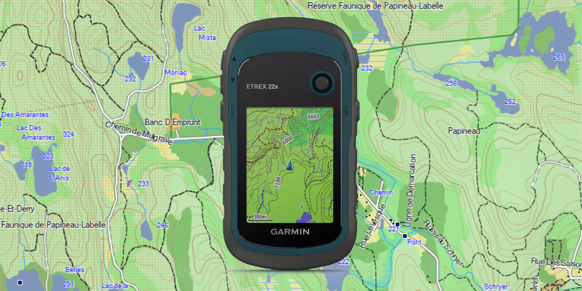
6. Clean, Readable Design on a GPS Screen
Topo maps look very different on a desktop monitor versus a Garmin device.
A well-designed map for devices should:
- Use high-contrast color schemes
- Avoid over-saturated terrain shading
- Keep contour lines readable at multiple zoom levels
- Display clearly in bright snow glare
If you need to zoom in excessively just to understand terrain, the map is too cluttered.
7. True Offline Reliability
In Canadian backcountry, cell coverage disappears quickly.
A proper topo solution should:
- Function fully offline
- Load quickly on device
- Not depend on streaming tiles
- Work in extreme cold without lag
Smartphone apps can work in theory. Dedicated GPS maps are built for reality.
The Bottom Line
A good Canadian topo map should give you confidence.
You should be able to:
- Understand elevation instantly
- Identify water and terrain hazards
- Know where you stand legally
- Plan your route without second guessing
In the Canadian wilderness, clarity equals safety.
